Both the counties and the state of Wisconsin have weight limits on their roads during the spring thaw.
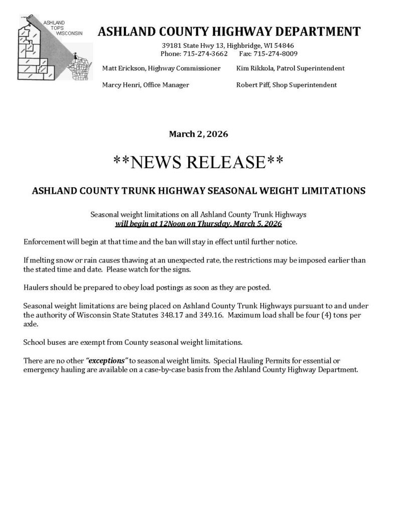
Ashland County: On March 2, 2026 the Ashland County Highway Department released un update detailing the trunk highway seasonal weight limitations. As you can see in the attached news release, starting March 5, weight is restricted to 4 tons per axle on Ashland County trunk highways. County trunk highways are distinct from state highways. This WIDOT map shows County trunk highways, differentiated from state highways.
Enbridge equiptment is subject to these restrictions as well. See additional details about the Ashland County seasonal road restrictions, including information about special hauling permits here.
State of Wisconsin: The WIDOT also weight limits for Seasonal Posted Roads and for Class II Roads. All restrictions began on Monday, March 9, 2026. (The reroute is all within Zone 1 (Ashland, Iron, and Bayfield Counties)).
Class II highways: The state restricts weight on all Class II roads. These are state highways that are judged to have unstable condition of the roadway subgrade during the period when frost is leaving the ground such that the travel of vehicles with overweight permits would cause undue damage to the roadway.
During this time, most divisible load multiple trip permits exceeding legal axle weights or 80,000 pounds (the legal load limit) are suspended, and overweight non-divisible multiple trip and single trip permits must stay off highway sections designated as Class II.
Springtime Posted Roads: The sate of WI also restricts some state numbered highways. These roadway sections are too weak to withstand even the legal load limit (80,000 pounds) during the seasonal freezing and thawing period.
These highway sections have signs posted indicating the allowable weight limits during the period normally from the second week in March till late April or early May.
Enbridge will likely use chainsaws to deforest the easements during this timeframe, and do other work they can do without bringing heavy machinery on the restricted roadways.
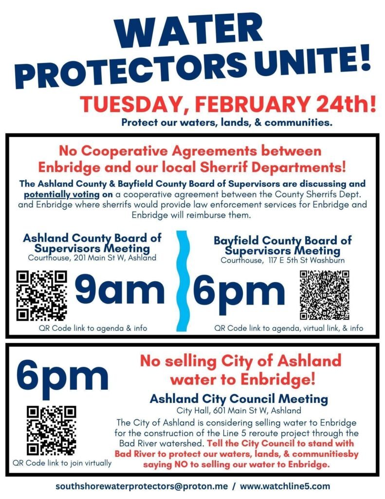
On Tuesday, both the Bayfield County Board of Supervisors and the Ashland County Board of Supervisors is meeting and potentially voting on a cooperative agreement between the County Sherrifs Dept. and Enbridge where sherrifs would provide law enforcement services for Enbridge and Enbridge will reimburse them. Show up on Tuesday February 24th to voice your concerns.
Ashland County Board of Supervisors Meeting: Courthouse, 201 Main st. W, Ashland Tuesday, February 24th at 9am
Bayfield County Board of Supervisors Meeting Courthouse, 117 E 5th St., Washburn Tuesday February 24th at 6pm
Services will include:
Assign officers to perform patrols of the Project site and surrounding locations on a daily basis to promote safety and wellbeing on the Project site.
Maintain the peace in and around the Project site, including assistance with crowd control measures.
Provide any required emergency or environmental services consistent with statutory duties.
Coordinate with Enbridge Project personnel as required to perform statutory duties.
Provide transportation, parking, and traffic control services.
Respond to calls for service received through general dispatch for incidents at the project site.
Respond to accidents or incidents at the Project site requiring first responder services, including but not limited to administration of first aid and completing accident reports.
Assist in the development and presentation of education-based programs to address public safety concerns regarding the Project.
Of exceptional concern in the agreement is Section G. which appears to highlight keeping all financial records hidden and it tip toes on all files being hidden. I.e. no FOIA allowable. This is an extra caveot to what they did for the Line 3 agreement. Likely because people were able to FOIA the financial records and then publicize them.
Of additional concern, is that it is likely that the County Board agenda does not comply with the notice requirements of the open meetings law. See pp 14 to 17 of this compliance guide. The law says that the agenda needs to appraise the public of what will be discussed and that if the government body can anticipate a lot of public interest then they need to be more specific. If that agreement relates to Enbridge then the agenda title should say that explicitly since the public is surely interested in an agreement that relates to Enbridge. https://www.wisdoj.gov/Open%20Government/OML_guide.pdf
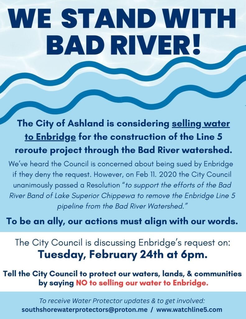
On February 13th, an administrative law judge upheld a key permit granted last year by Wisconsin’s Department of Natural Resources (DNR) for Enbridge to build the line 5 reroute (41 miles of new pipeline) through the watershed of the Bad River Band of Lake Superior Chippewa in northern Wisconsin. This decision comes after the six-week contested case hearing last fall in which attorneys and expert witnesses presented evidence showing that the DNR permitted the project without fully understanding the risks.
Bad River Band has filed a petition for judicial review to challenge Administrative Law Judge Angela Chaput Foy’s decision. In their petition, they request an immediate stay to halt any construction until the Court can hear the legal claims.
FOR IMMEDIATE RELEASE Sun. Nov. 2nd, 2025 Contact: Robin Clark, Three Waters Pipeline Resistance Team RobinClark12@proton.me
Enbridge Starts Construction Related Activitiesfor Re-Route of Line 5 Pipeline
ASHLAND, WI – Over the past few weeks, the Canadian pipeline company Enbridge Energy has commenced activities such as logging, preparing construction matting, and securing temporary worker housing around the Bad River reservation in anticipation of re-routing a segment of their Line 5 pipeline. While the Army Corps of Engineers issued a federal permit to Enbridge this past week for construction related to the proposed re-route, an order issued by Administrative Law Judge Angela Chaput Foy on February 28, 2025, prohibits Enbridge from moving forward with full construction pending the outcome of a contested case hearing with the Wisconsin Department of Natural Resources over the project’s permits.
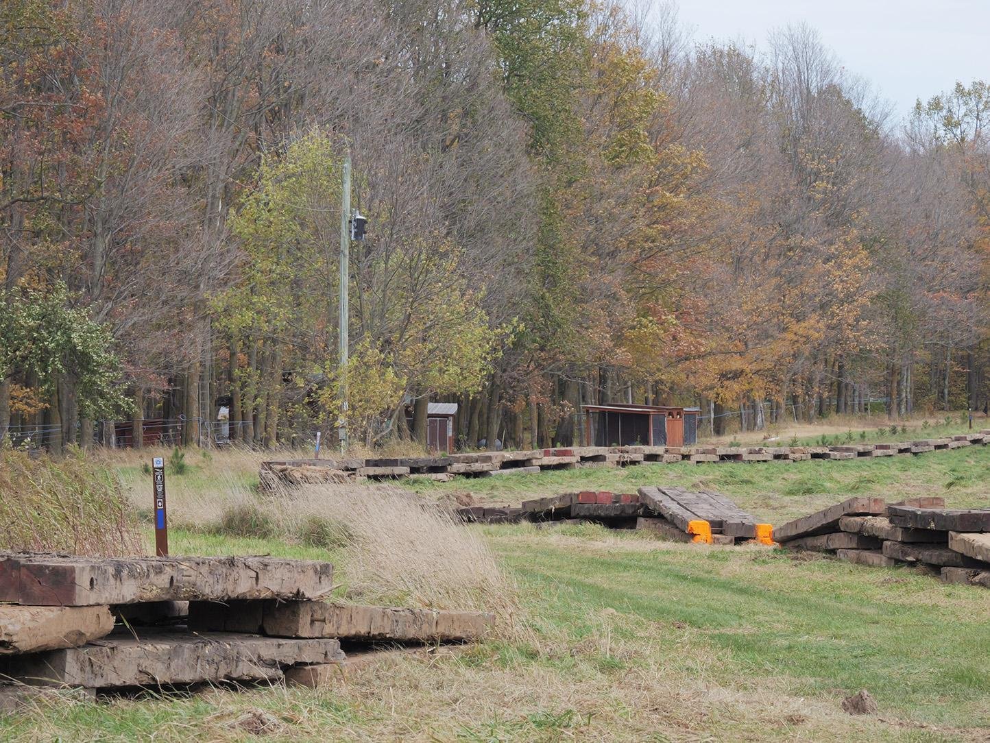
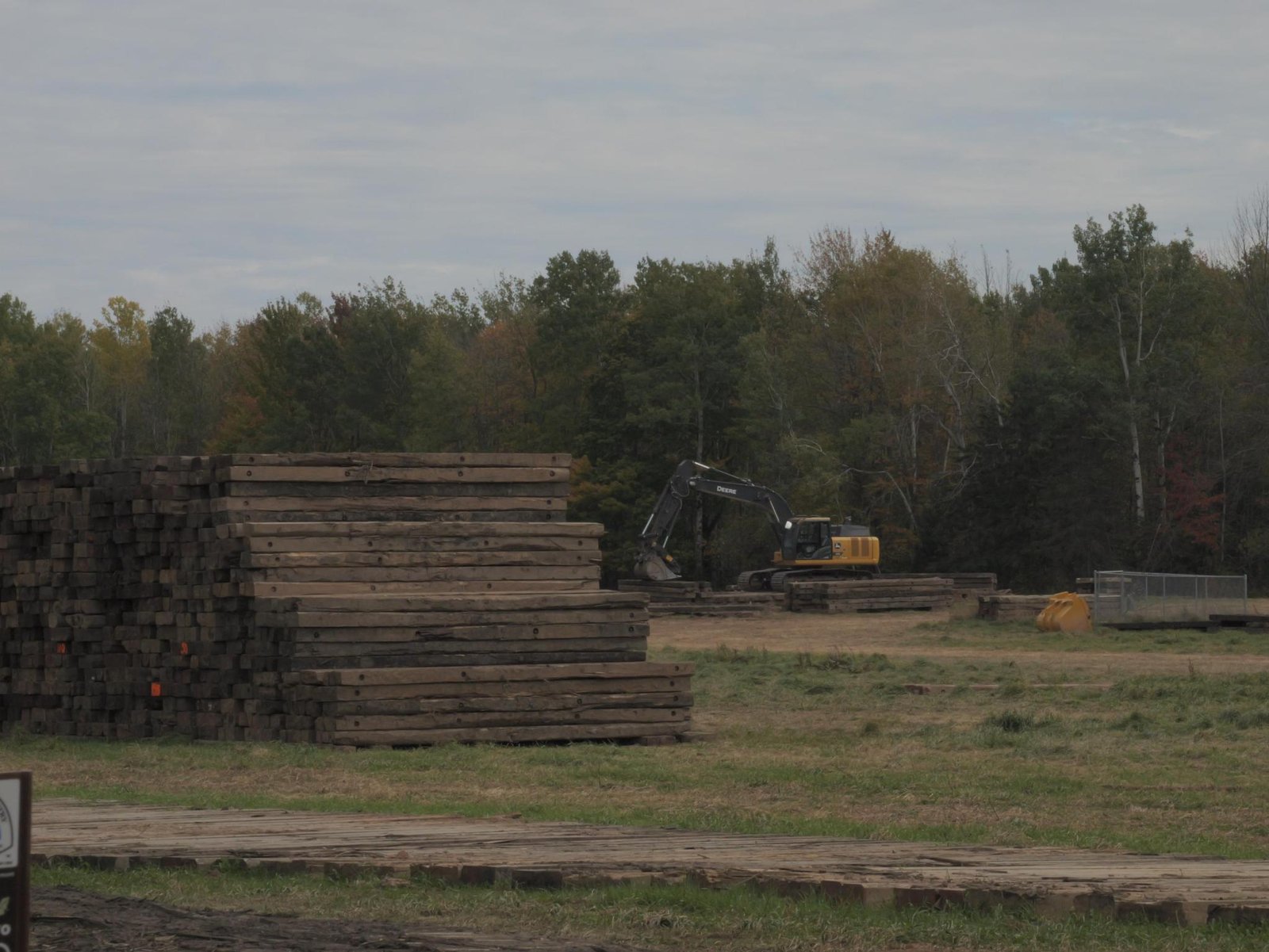
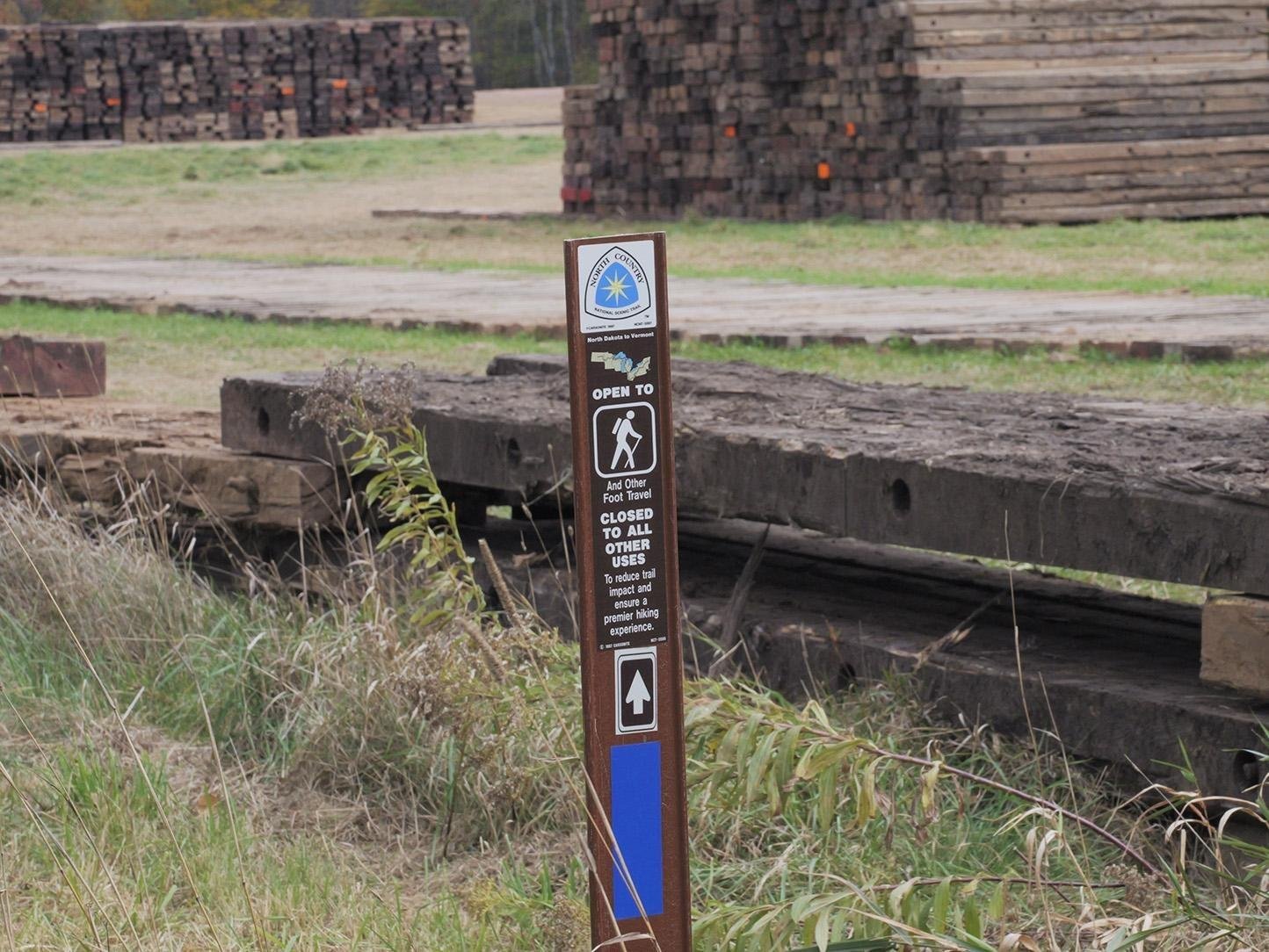
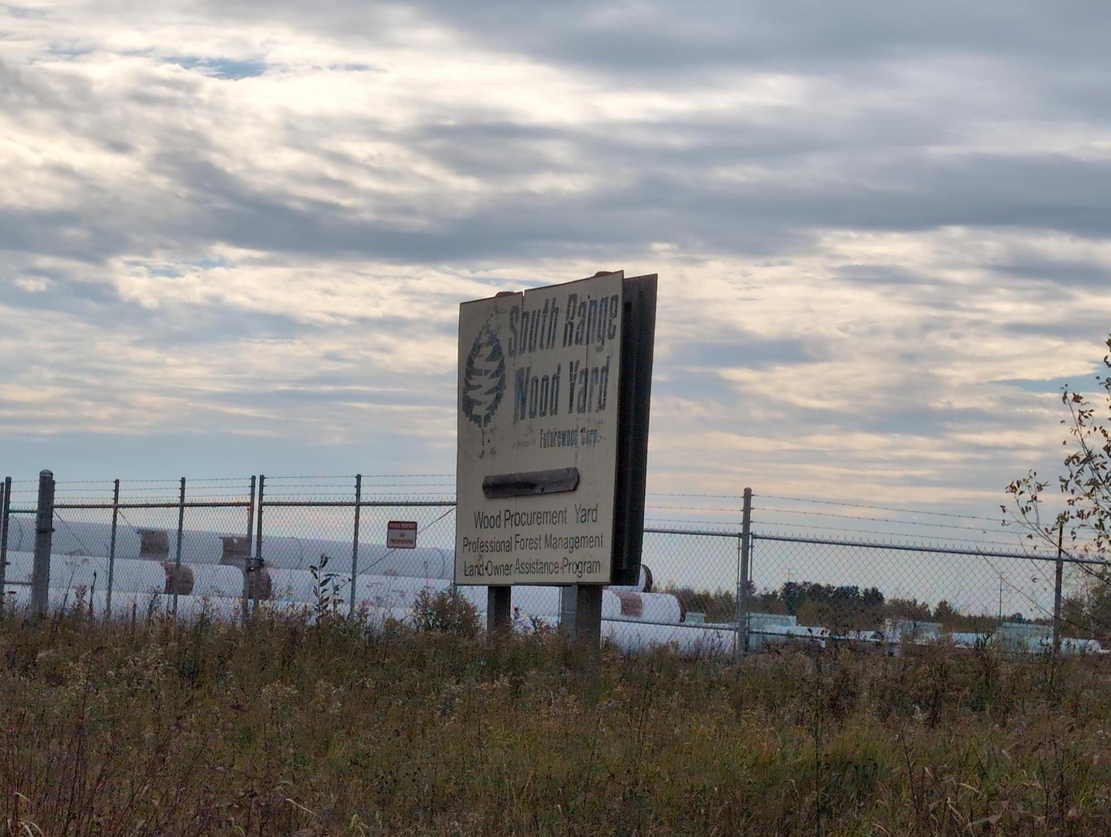
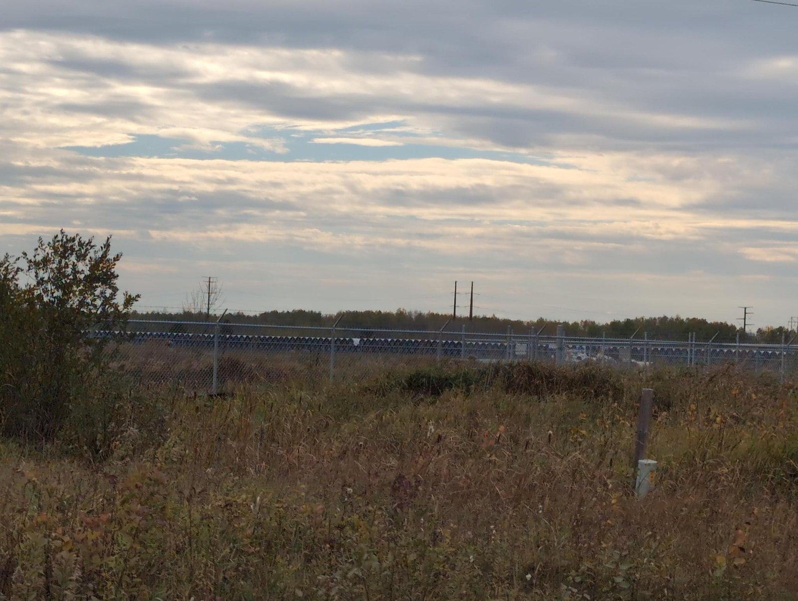
Based on photographs and observations taken by local residents [attached], as well as property data disclosed in Enbridge’s Environmental Impact Statement, lots leased by Enbridge close to the proposed corridor now contain stacks of pipe and construction matting. Active logging on Enbridge parcels has also begun in the last few weeks.
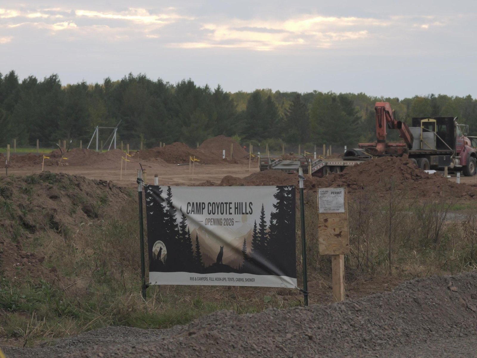
Temporary worker housing locations for out-of-town workers— often referred to as “man camps”— have been established in Cedar, WI, and Ashland, WI, and another is being constructed in Marengo, WI. The camp in Cedar, WI is actively hosting Enbridge workers, according to local residents. The Coyote Hills campground and trailer park in Marengo has been leased by the company, and neighbors have been told the trailers are intended for out-of-town pipeline workers. Enbridge has explicitly stated they will not build “man camps” for the Line 5 reroute project, likely due to the advocacy of the Missing & Murdered Indigenous Women movement showing connections between man camps and increased sex trafficking in local communities. Enbridge is claiming that these campgrounds of temporary workers are not man camps. They have not commented on what exactly makes them different.
To see more information and photos on the aforementioned activities or make reports of construction activity related to the proposed re-route, visit watchline5.com > WI Monitoring.The Bad River Band initiated a contested case hearing against the Wisconsin Department of Natural Resources in December of 2024 following the approval of DNR permits for the Line 5 reroute project. Bad River contends that the proposed reroute poses an imminent risk to the wetland-rich ecology of the Bad River watershed and to the Band’s usufrutuary rights, which are protected by treaties signed with the United States federal government. Midwest Environmental Advocates, petitioning with the Sierra Club, 350 Wisconsin, and the League of Women Voters, have also contested the permits. A decision in the contested case proceeding is expected by December.