There is a new map on the WI maps page under Construction Updates Storymap! This map serves to give a visually update on where construction is at at different points along the reroute, while also offering more context on what the pipeline is doing to the land it cuts through.
Notes on observing: If oil sheen is observed on any water surface and you can get close enough to touch, please do! Natural processes of decay also produce sheens on water surface, and the quickest way to determine if what you’re seeing is a potential violation is through touch. Petroleum based slick will reform if disturbed, while the natural sheen will break apart.
If rains or winds are forecast, before and after are good times to keep an extra close eye on erosion control devices.
Enbridge has been working as fast as they can on the reroute, despite legal setbacks in Michigan and not having the last permit needed for a water crossing. We have concerns about potentials for harm to land and water due to the pace that neighbors have observed.
Point 47– A Support Line 5 sign was placed at the end of a neighbors driveway, without the landowners knowledge or consent.
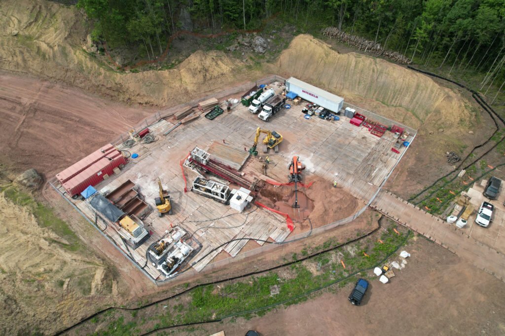
Bad River– There is active drilling at Bad river. Monitoring can be done from points 68-72
Tyler Forks River- Eyes needed on construction on Tyler Forks. Access roads can be observed from points 88 and 89.
Potato River- Work still being done on Potato River. Point 94
Silver Creek- Eyes needed here, observations can be done from points 51,52,54
Vaughn River- Work may potentially be done by now, but that does not mean monitoring should not still happen here. Enbridge workers had 3 frac- outs, and hit a spring at this HDD site alone. The damage carries on long after the drills go silent, and its important to stay by the waters side and watch for any evidence of injury over time. Observation can be done at points 97-99
Billy Creek- As of a few days ago the construction noises died down a bit, but work can still be happening. Points 47-49