SITE DESCRIPTION
Location description: The Brunsweiler River crosses County Road C at: 46°24’25.04”N, 90°48’40.95”W. After the intersection between Highway 13 & County Road C, go West down County Road C). There is a small gravel pull off area for a few cars to park. Easier access to water, but be prepared to scramble down a couple large rocks into river.
Upstream walk description:
- Rocky and muddy river bottom, recommend water shoes. The water is up to hip deep, though often possible to walk on the bank
- Walk upstream to the easement (about 30 minute easy walk). Walk around the first curve (that curves to the left walking upstream), then a slight curve to the right, then one more slight curve to the left and then you will be near the easement.
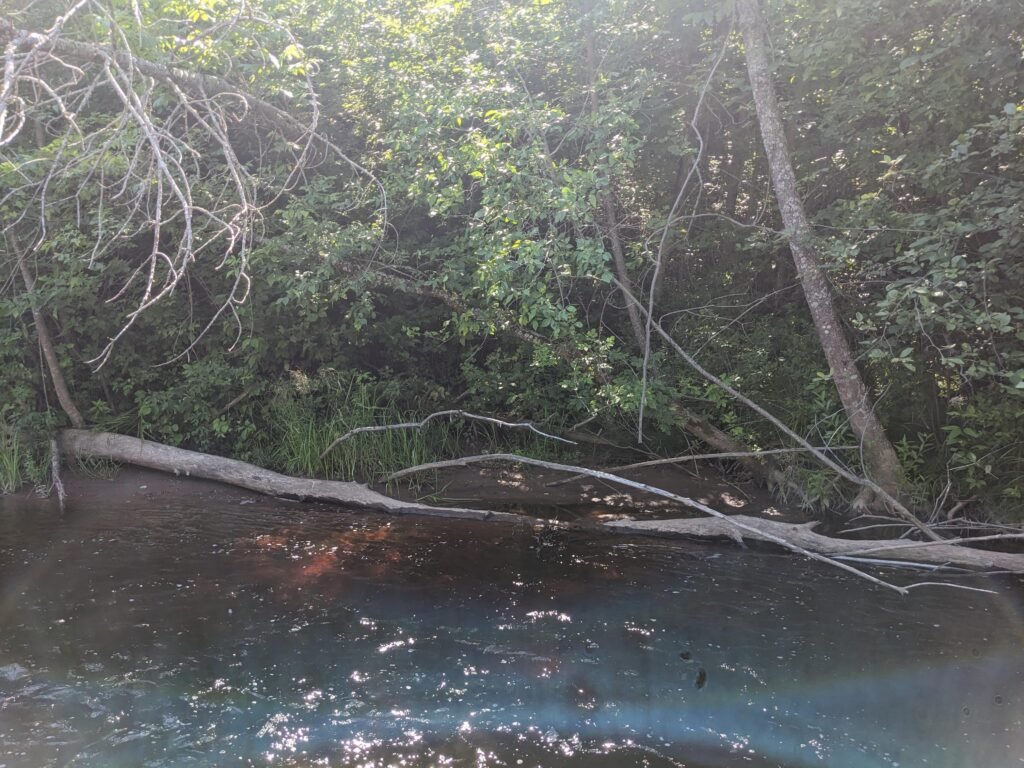
- There are lots of deadfalls – this would be difficult in a boat
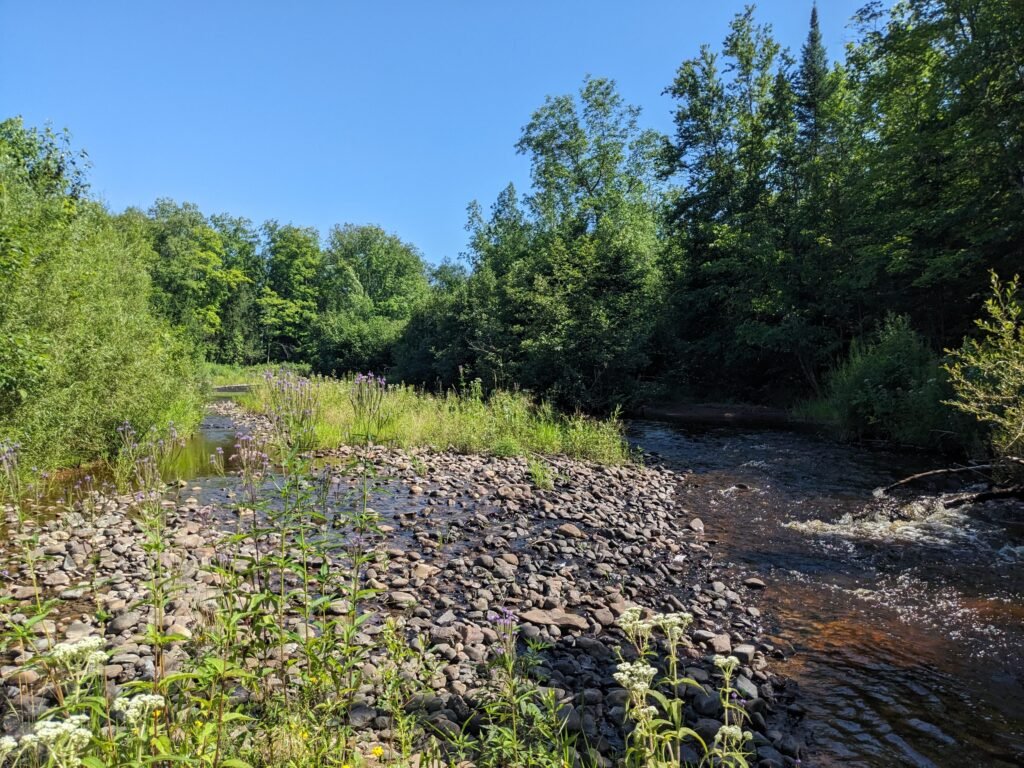
- Many sandbars and rock bars
LATE JULY REPORTBACK
- The sandbars and rockbars were lined with lots of willows (at least 3 species)
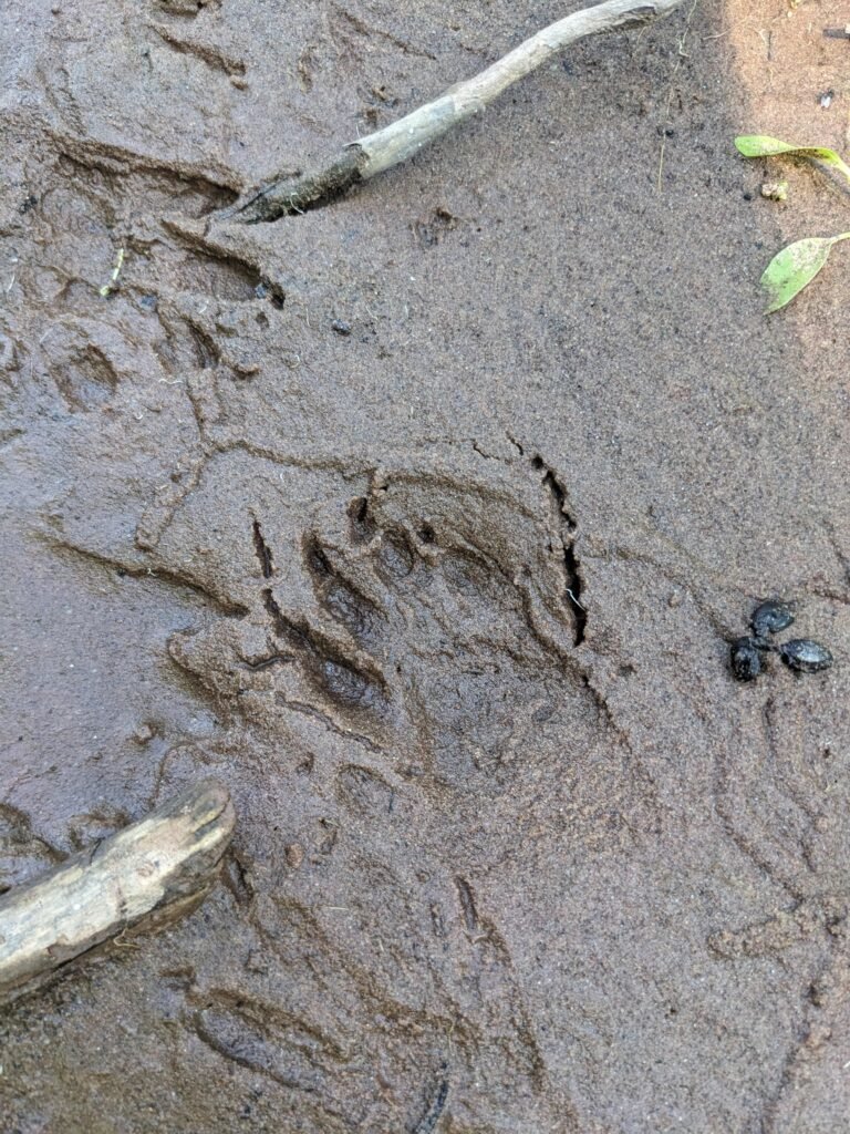
- Saw 2 baby snapping turtles right by the river bridge entry spot under the speckled alders
- Lots of cedar waxwings at the easement site
- Many crawdads (at least 1 was native!)
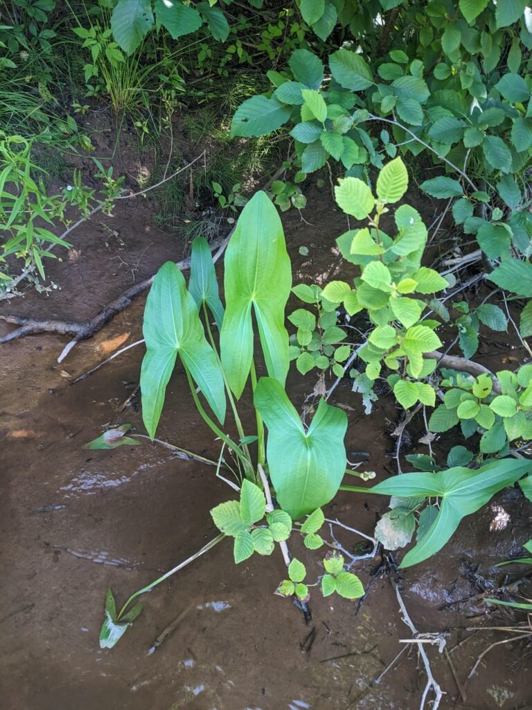
- Lots of herbaceous flowers – boneset, jo pye weed, mugwort, soapwort, sedges, rushes, evenming primrose, plaintain, mints, arrowhead. These were mostly on the floodplain
- Raccoon prints
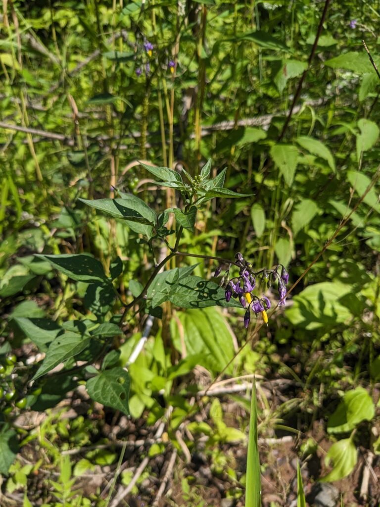
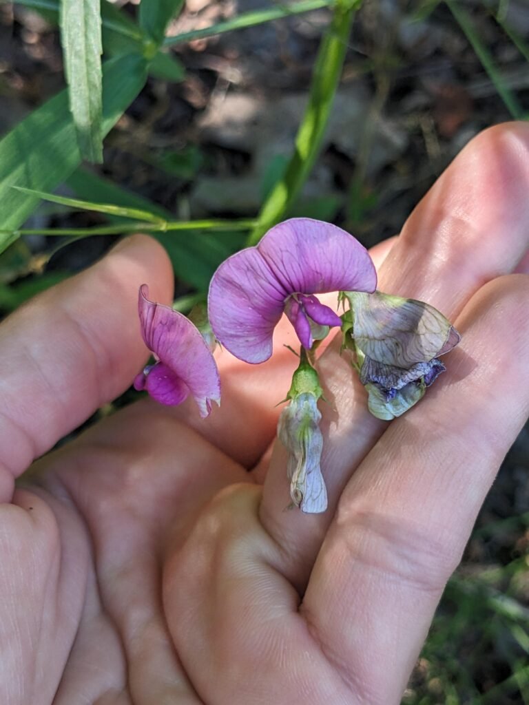
- Saw some non local species: buckthorn, birdsfoot trefoil, bittersweet nightshade
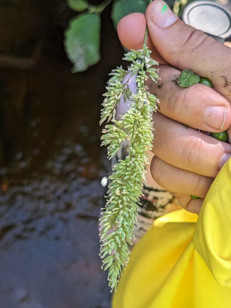
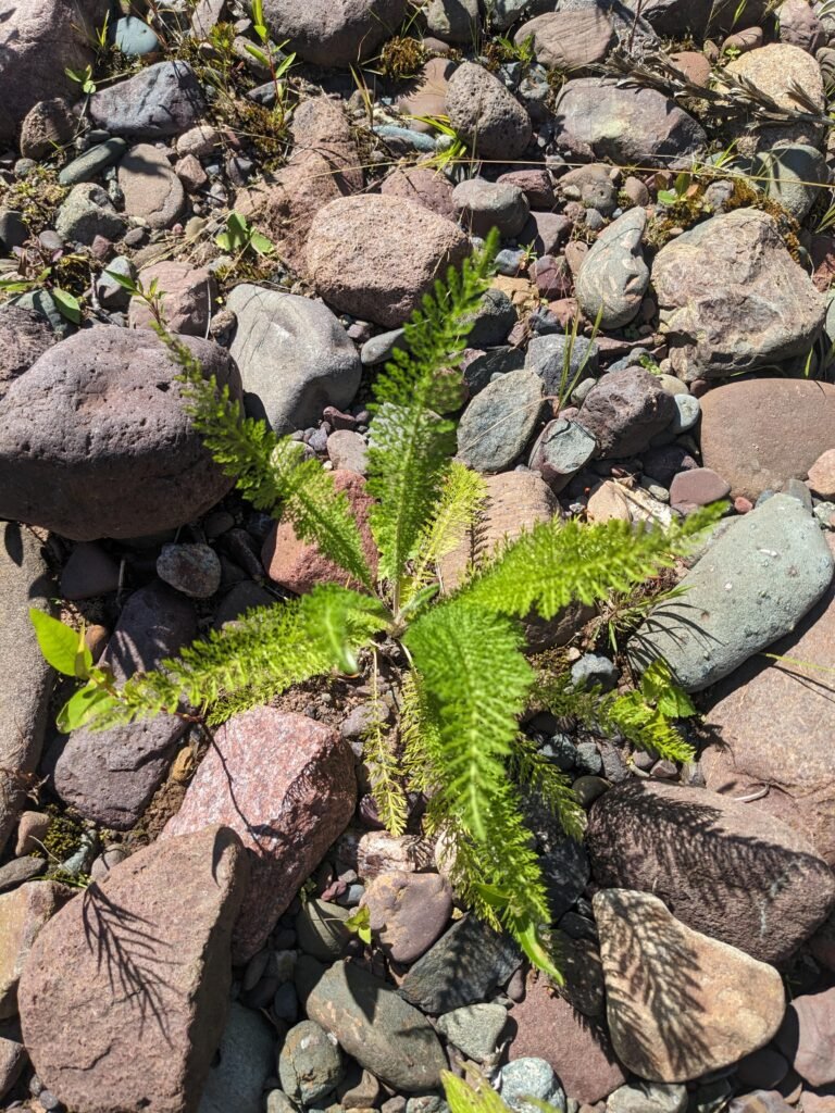
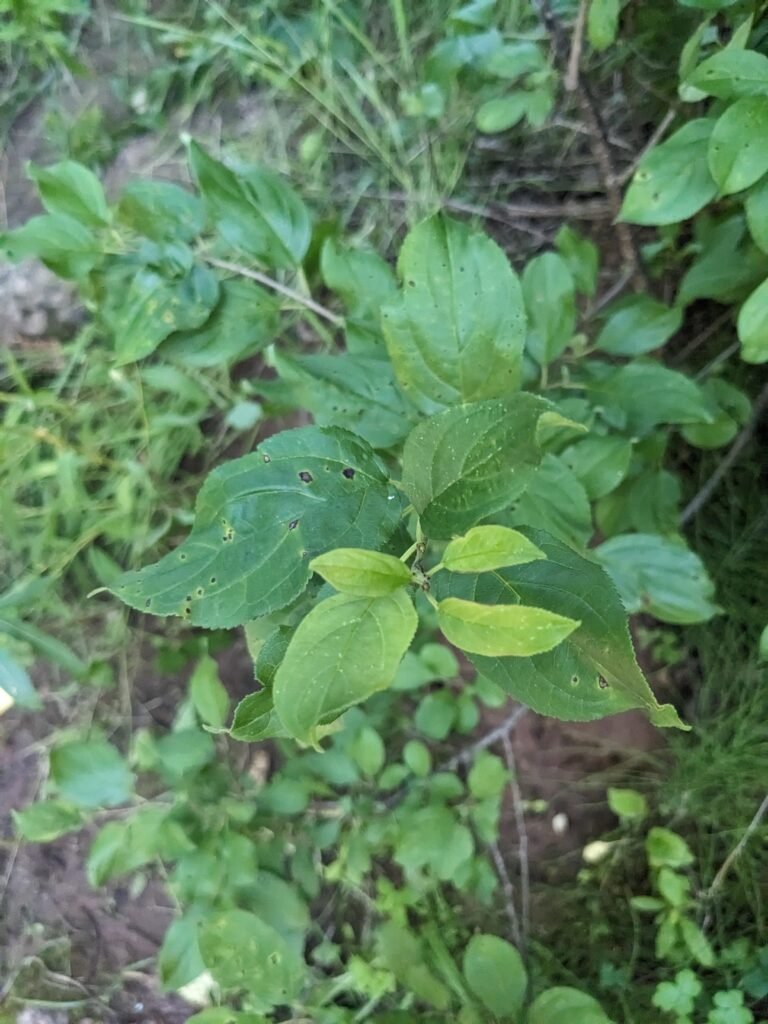
Check out photos of some beings we encountered!