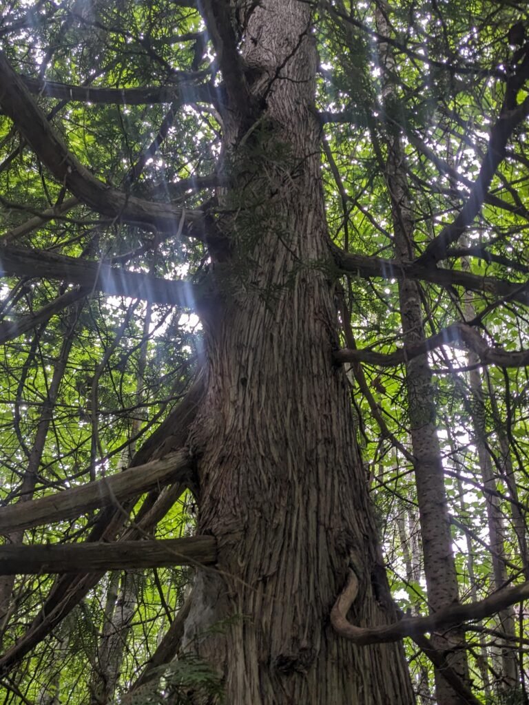
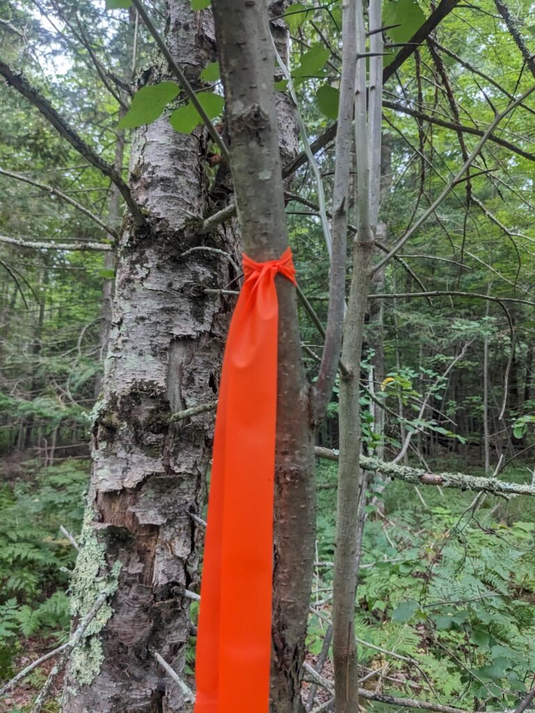
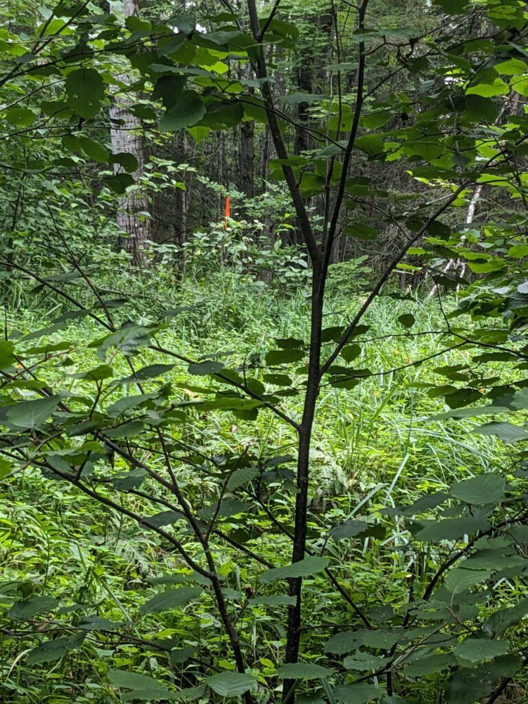
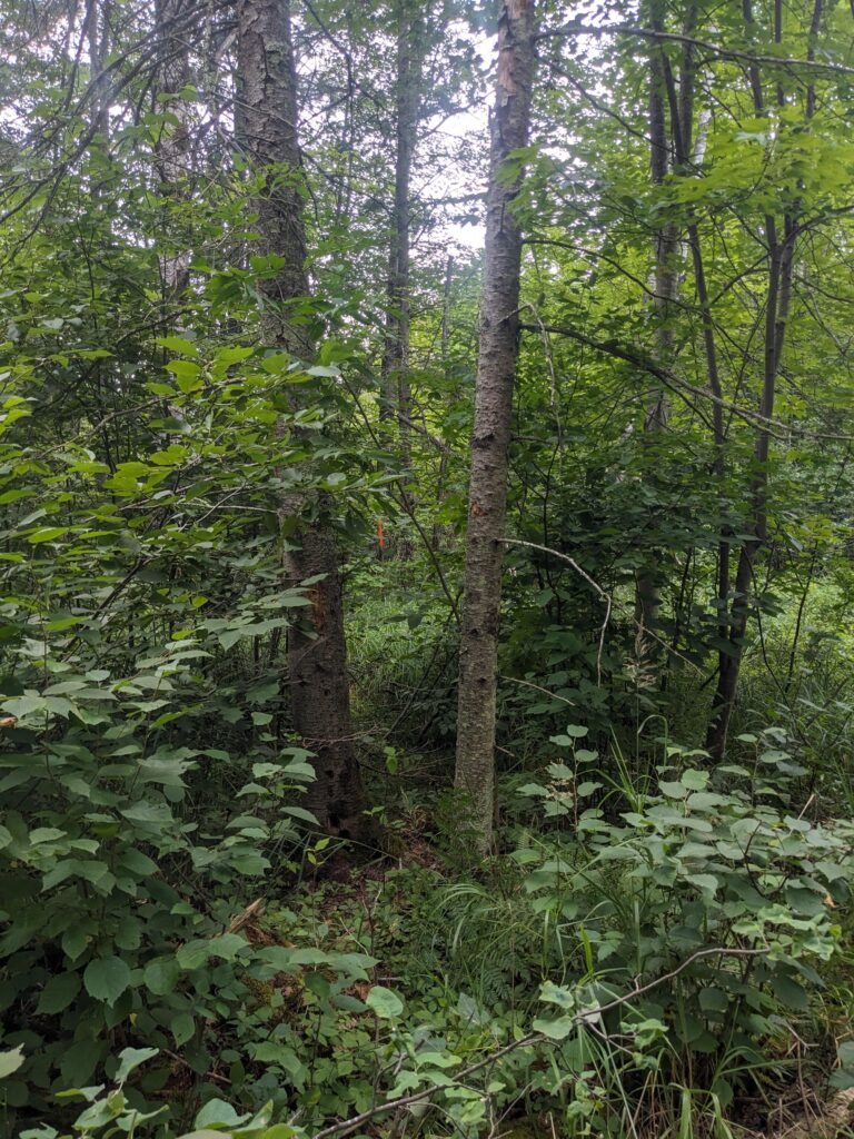
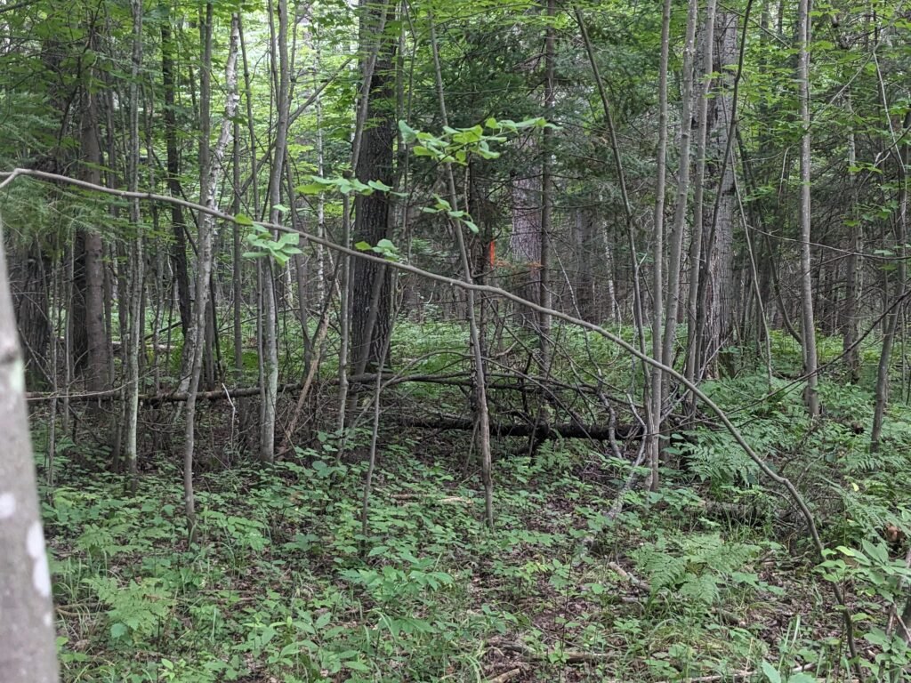
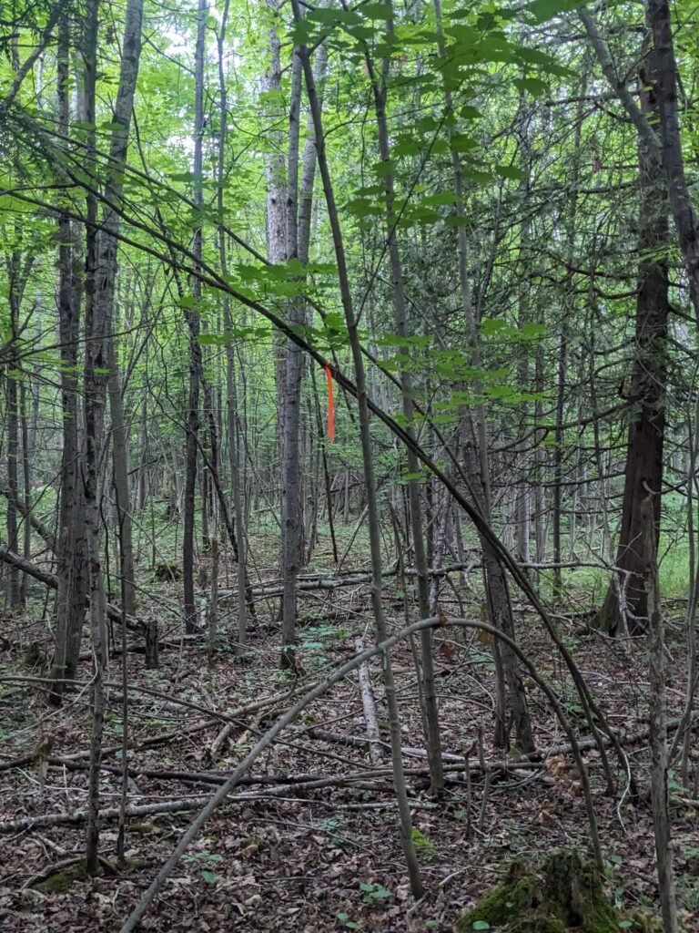
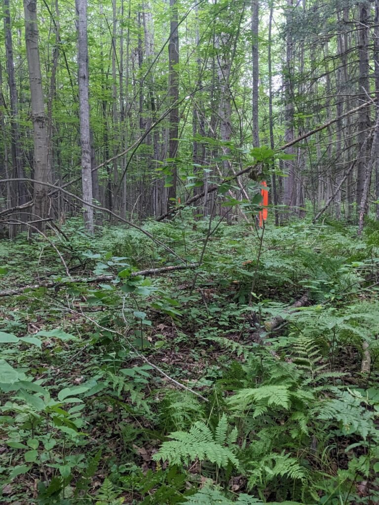
We received permission from a landowner to monitor for species near the easement north of White River. We encountered orange flagging tape likely marking the easement. Mixed woods, wet soils, species composition indicates area is a wetland during the spring/early summer. Few trails besides deer trails, several hunting blinds.
Early August Rportback
Walked from landowner house on Beaser Rd straight west until reaching easement. Walk took about hour and a half, mainly traversing via deer trails and weaving around fallen trees
Location description: The Brunsweiler River crosses County Road C at: 46°24’25.04”N, 90°48’40.95”W. After the intersection between Highway 13 & County Road C, go West down County Road C). There is a small gravel pull off area for a few cars to park. Easier access to water, but be prepared to scramble down a couple large rocks into river.
Upstream walk description:
Rocky and muddy river bottom, recommend water shoes. The water is up to hip deep, though often possible to walk on the bank
Walk upstream to the easement (about 30 minute easy walk). Walk around the first curve (that curves to the left walking upstream), then a slight curve to the right, then one more slight curve to the left and then you will be near the easement.
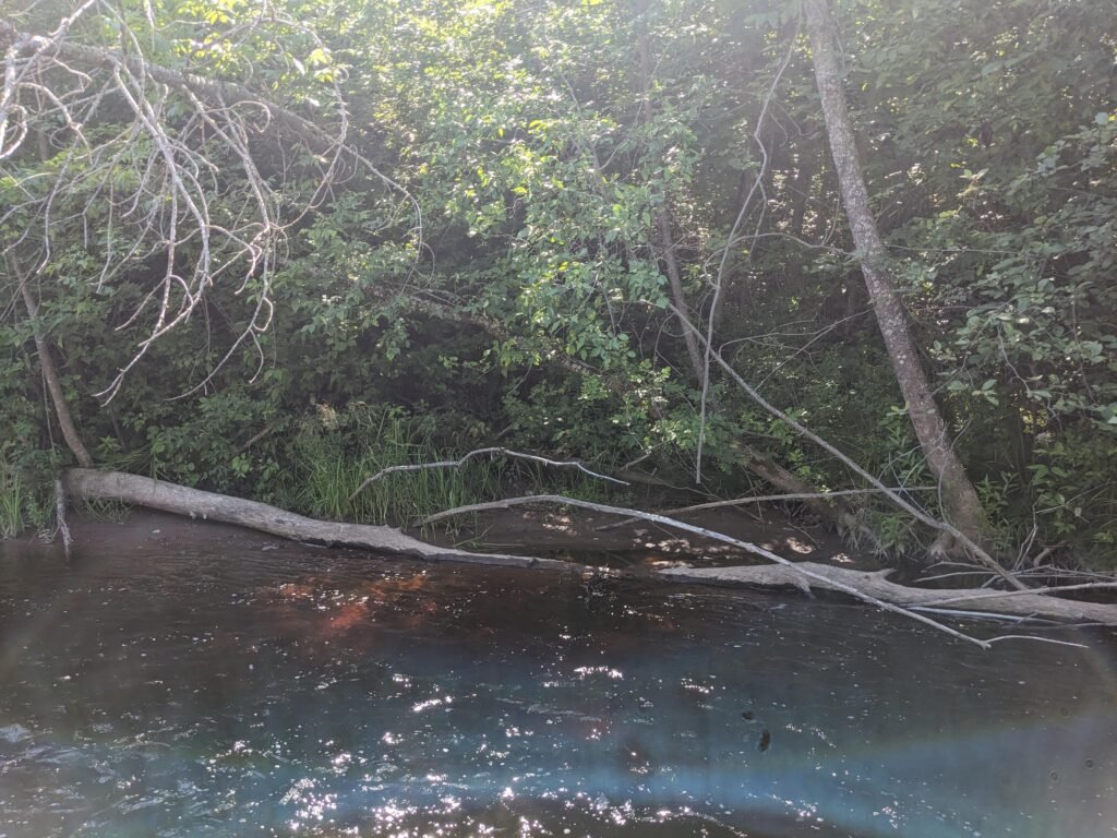
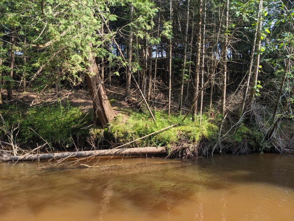
There are lots of deadfalls – this would be difficult in a boat
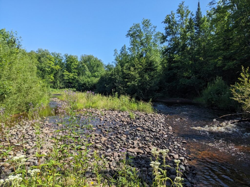
Many sandbars and rock bars
LATE JULY REPORTBACK
The sandbars and rockbars were lined with lots of willows (at least 3 species)
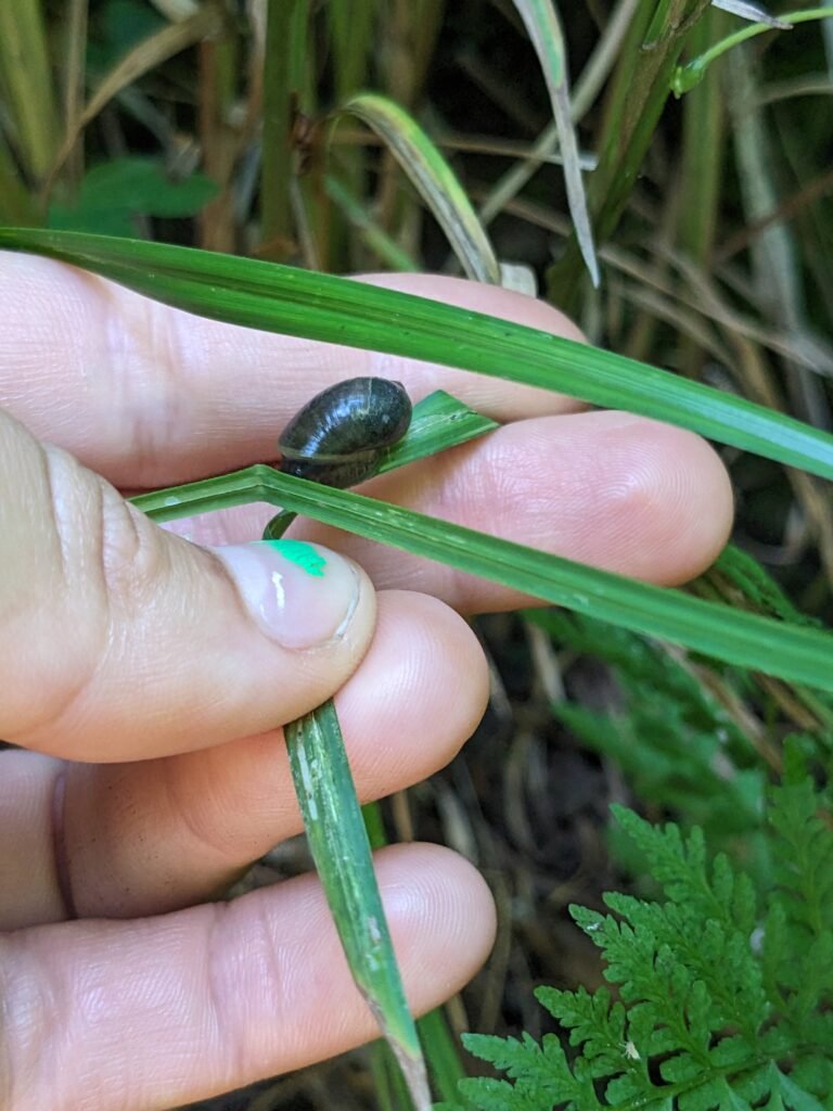
Saw 2 baby snapping turtles right by the river bridge entry spot under the speckled alders
Lots of cedar waxwings at the easement site
Many crawdads (at least 1 was native!)
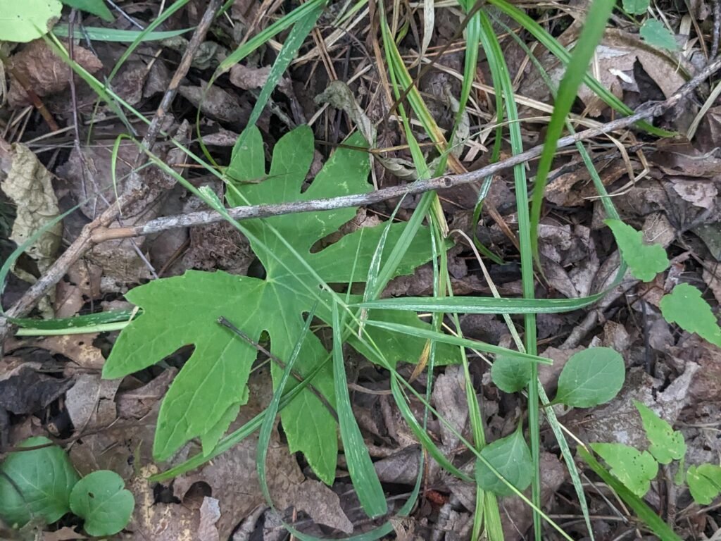
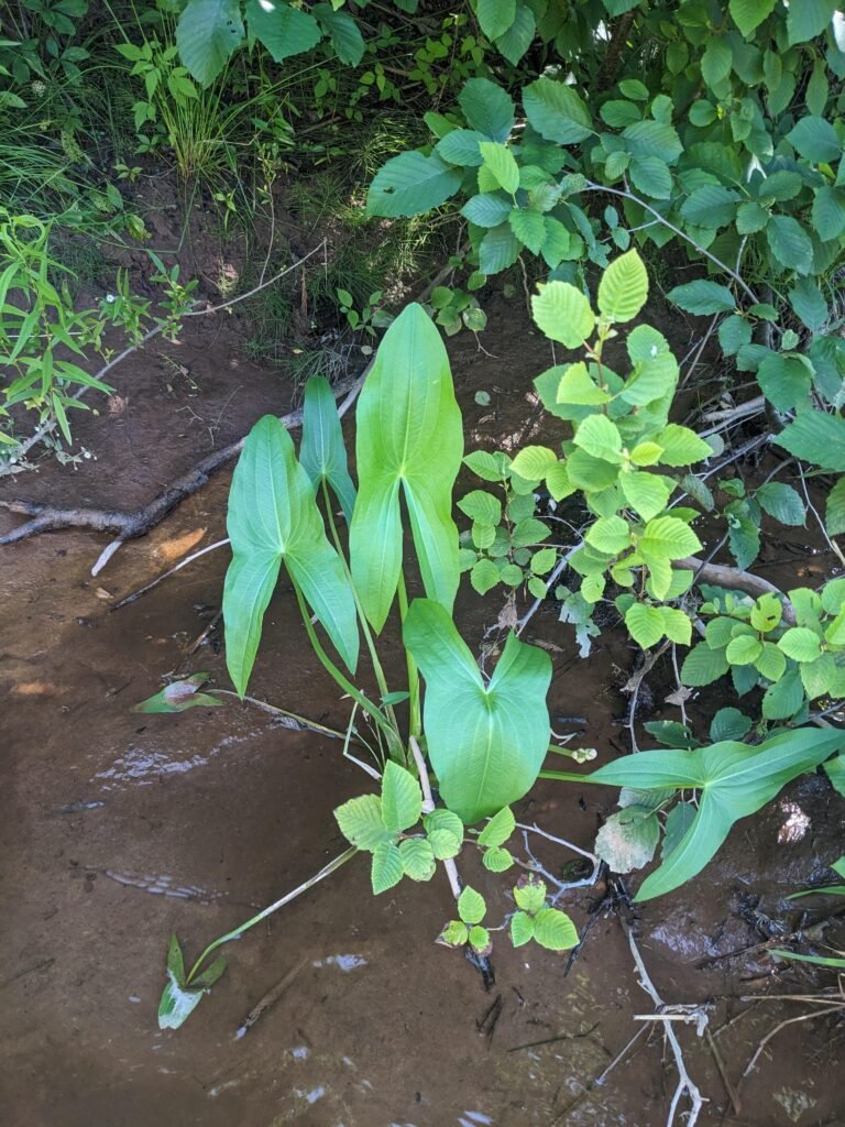
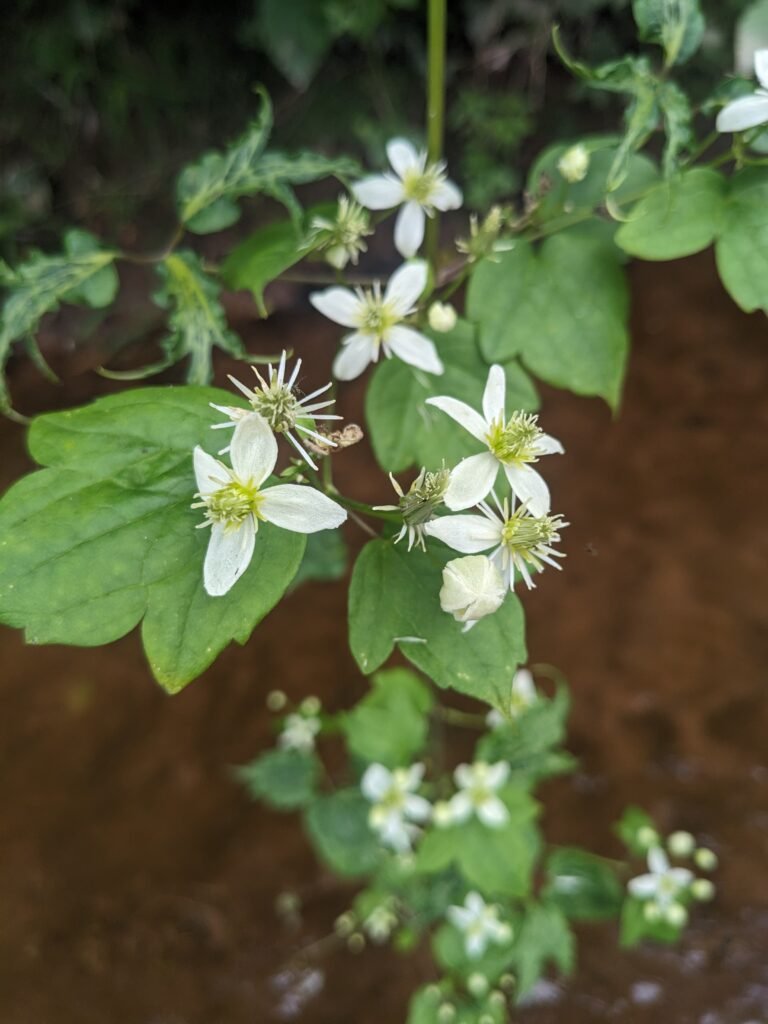
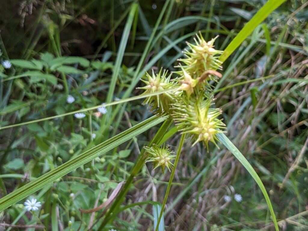
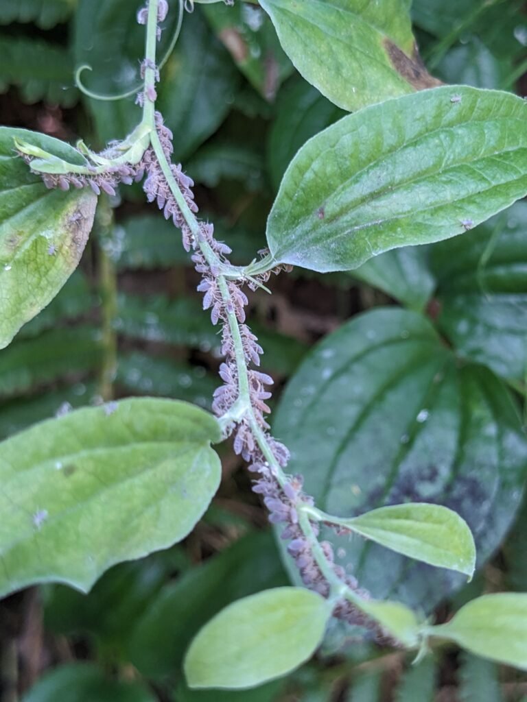
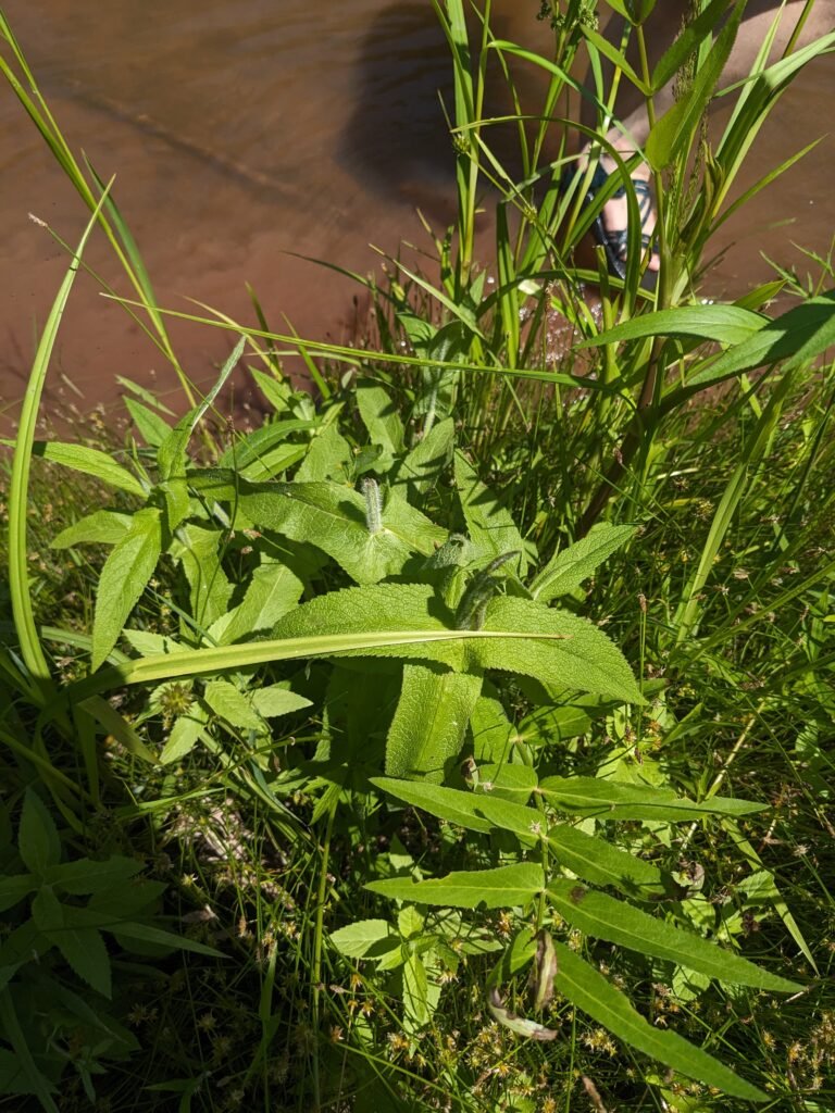
Lots of herbaceous flowers – boneset, jo pye weed, mugwort, soapwort, sedges, rushes, evenming primrose, plaintain, mints, arrowhead. These were mostly on the floodplain
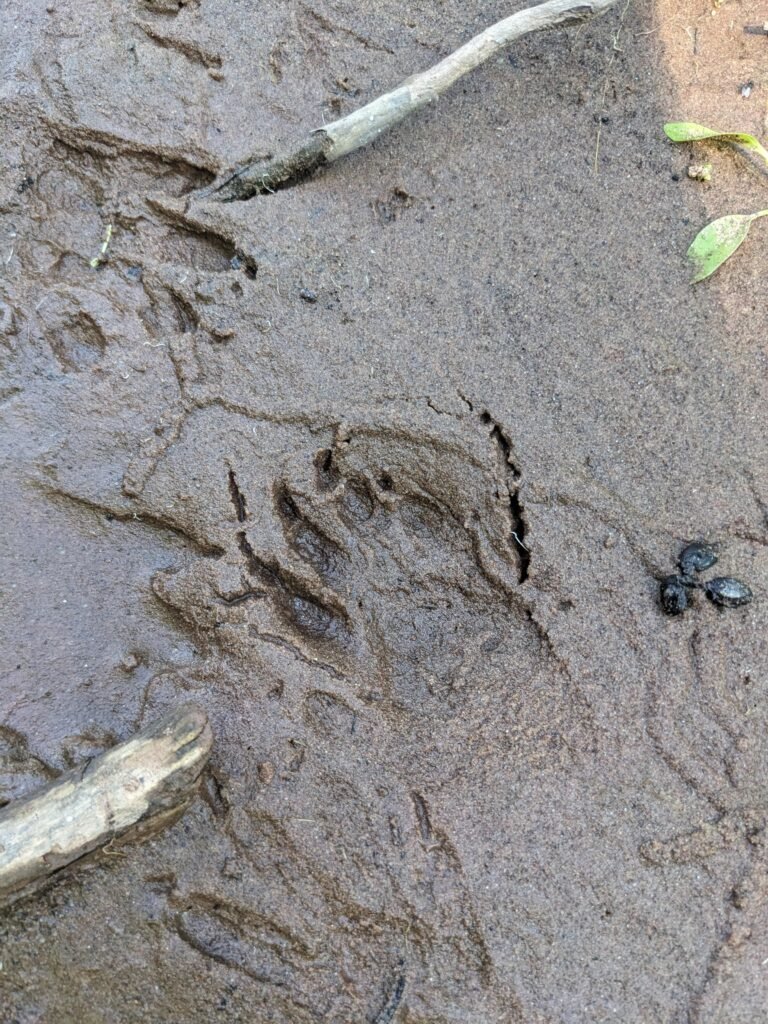
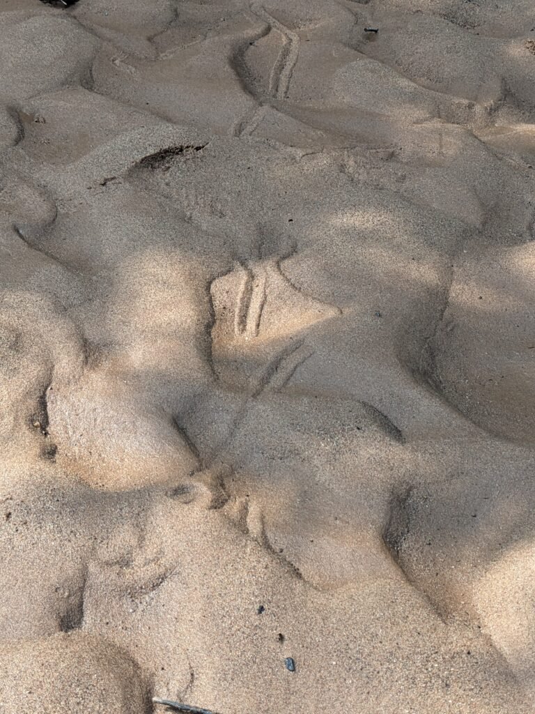
Raccoon prints
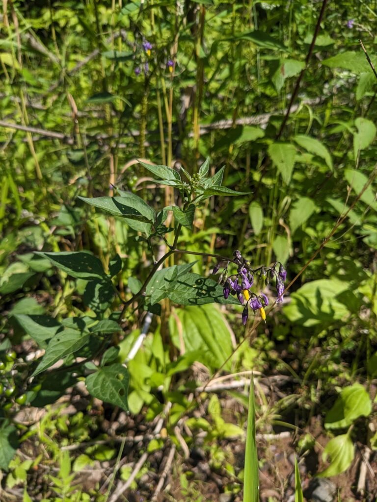
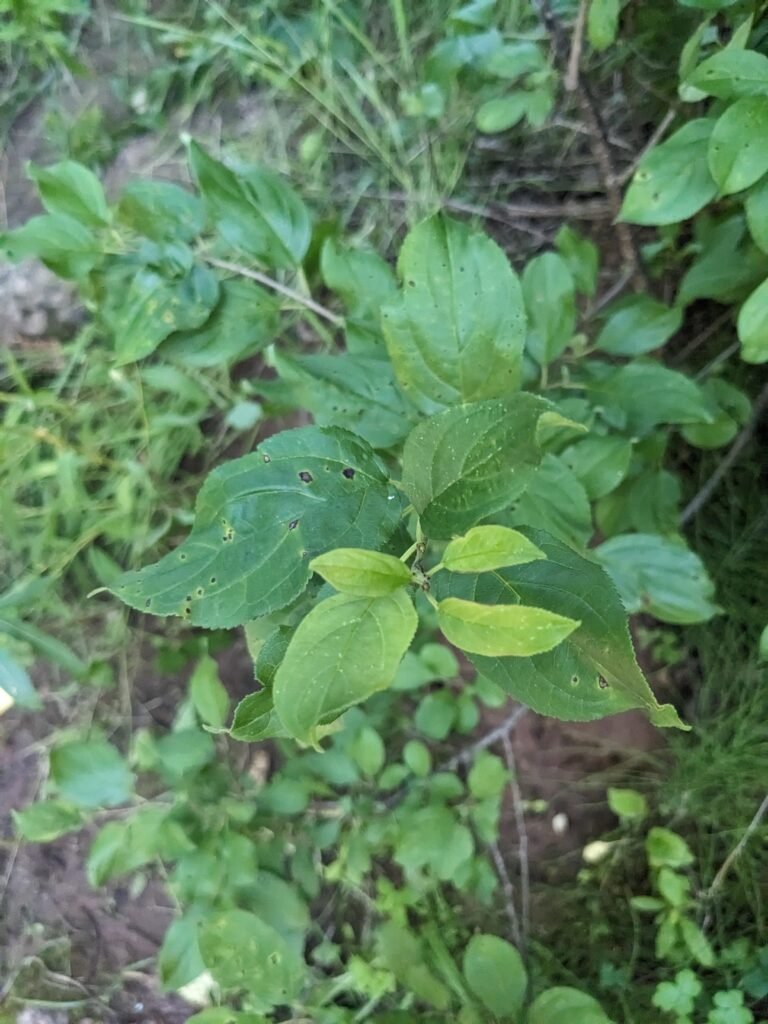
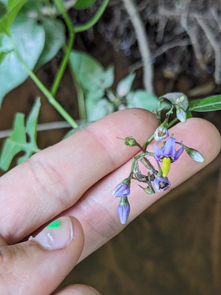
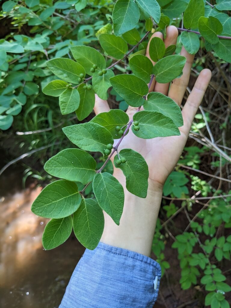
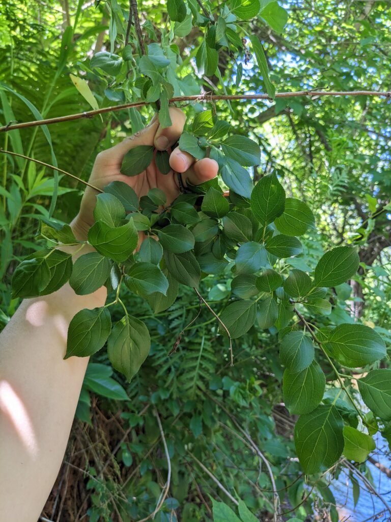
Saw some non local species: buckthorn, birdsfoot trefoil, bittersweet nightshade
Downstream float: We floated from the bridge at the Marengo River Rd Crossing (coordinates 46°25’42.01”N, 90°50’50.49”W) to the bridge at Riemer Rd, and it took us about 30 minutes. We were floating on tubes which was lovely, minimal butt scraping.
There’s an inlet stream about 200m downstream of Marengo River Rd on the left side if facing downstream. We spent some time sitting here looking for creatures and heard lots of birds.
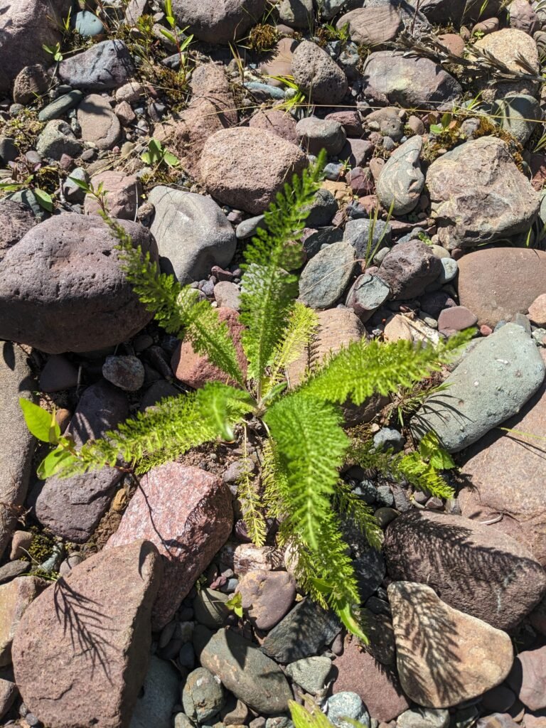
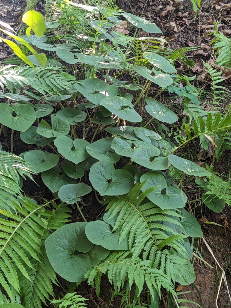
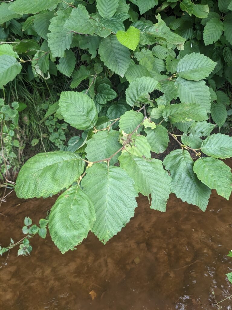
Lots of ferns on stream sides and Speckled Alders.
Saw a hawk near the 1st deadfall downstream of Marengo River Rd!
Upstream Walk: We walked from the Marengo Rd Bridge upstream about 20 minutes to the first big bend. We spent a lot of time in one area and really enjoyed going super slow, looking at every little plant from the river up to 2ft up. A section of the river is between cornfields and private property on either side of the river, so floating down the river was perfect! According to the Public Trust Doctrine of Wisconsin, the constitution guarantees access to waterways.
We met lots of different beings!
Lots of cedars near the easement
At the bend, there is hip-deep thalweg where there’s a little stream input.
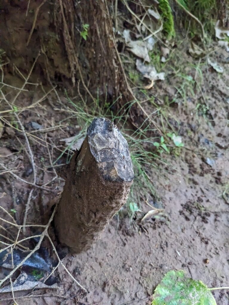
A couple of beaver felled stumps on the shoreline
Alders and some birches, fern covered shorelines
Saw a king fisher and lots of interesting bird tracks
Possible heard a Caspian Tern (endangered species) at the easement bend
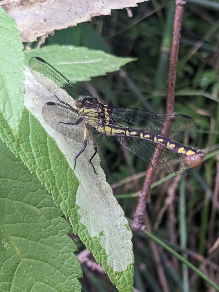
Dragonfly nymph shells and little fish at bank of easement
Saw bittersweet nightshade, a non-local plant
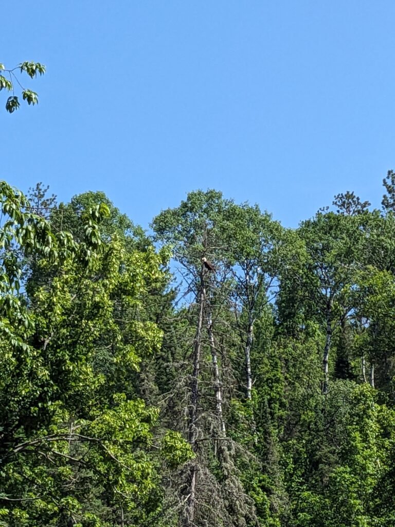
Great blue herons flying from Marego River Rd downstream and a bald eagle flew over the bend right after the first deadfall where the hawk was the day before!
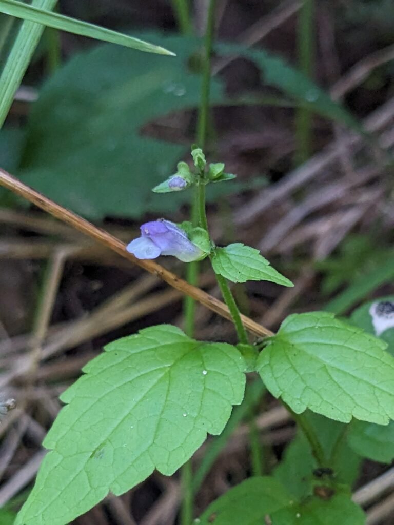
Saw many kinds of mints. Lots of guppies in the water
A tree frog grabbed someone’s leg while walking in the water!
Lots of narrow-leaved arrowhead (Sagittaria latifolia) along this section of the river, a species with an edible tuber
Early August Reportback
Brief visit to Riemer Rd site, juvenile bald eagle flew overheard as we arrived
Walked downstream for about 20 minutes
Noticed two small inlets on either side of the river
We had a wonderful float along the White River. We started just downstream of the dam (coordinates 46°29’53.50″N, 90°54’30.41″W.) We floated to the Highway 13 bridge which took about 5 hours because the water was low so we often had to get out of our canoe and carry or push it over rocks. This float was in late June.
Note: NL means “non-local being”
Tried to enter river with heavy canoe close to dam — steep, rocky, and lots of rock slabs in waterway. Needed to portage canoe several times, difficult. Do not recommend starting that close to the dam or bringing a heavy canoe with low water levels.
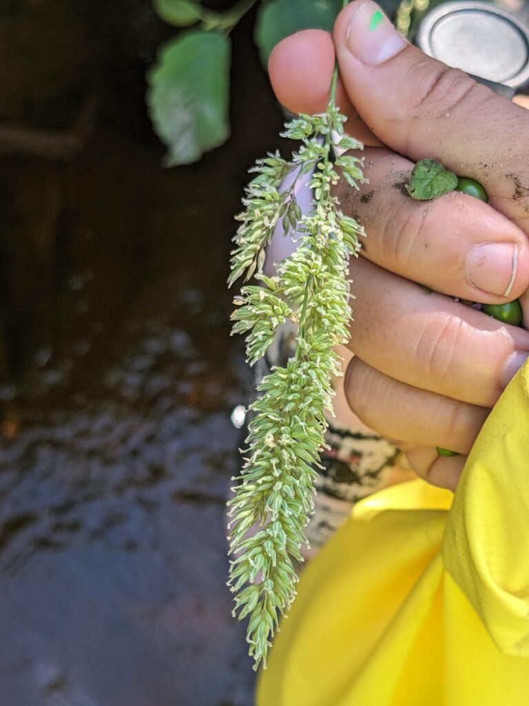
Along bank in first quarter mile of float, noticed: bird’s foot trefoil (NL), crown vetch (NL), honeysuckle (NL), bull thistle (NL), speckled alder, blue vervain, mullein
Boneset and lots of frogs noticed at easement
Several washouts along the banks, before and after easement
Arrowhead common along river
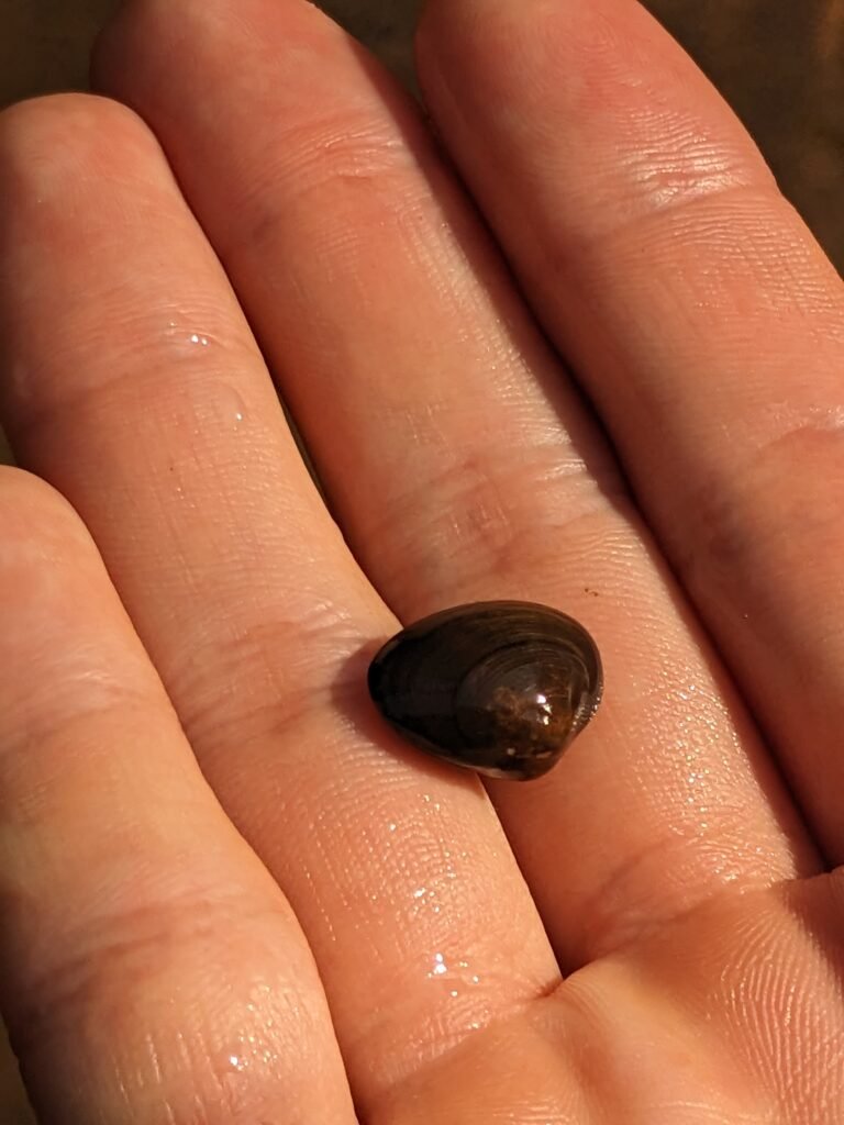
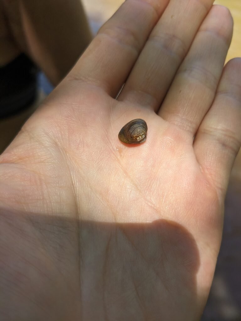
Small clams/mussels found in sandy river bottom
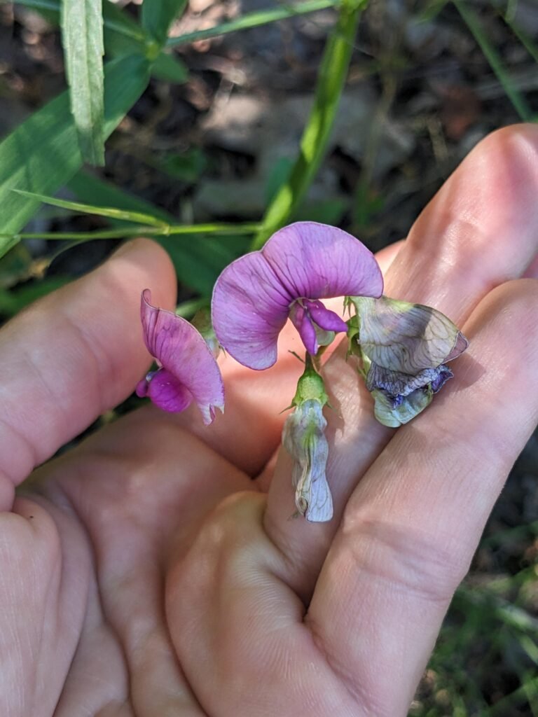
Honeysuckle, buckthorn, narrow-leaved wood pea encountered at easement (all NL)
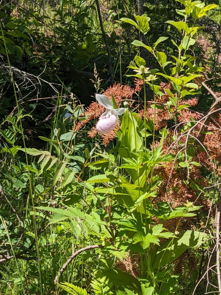
Halfway between dam and highway 13 encountered small population of showy lady’s-slipper (Cypripedium regalis), uncommon orchid
Encountered two bald eagles six times along river!